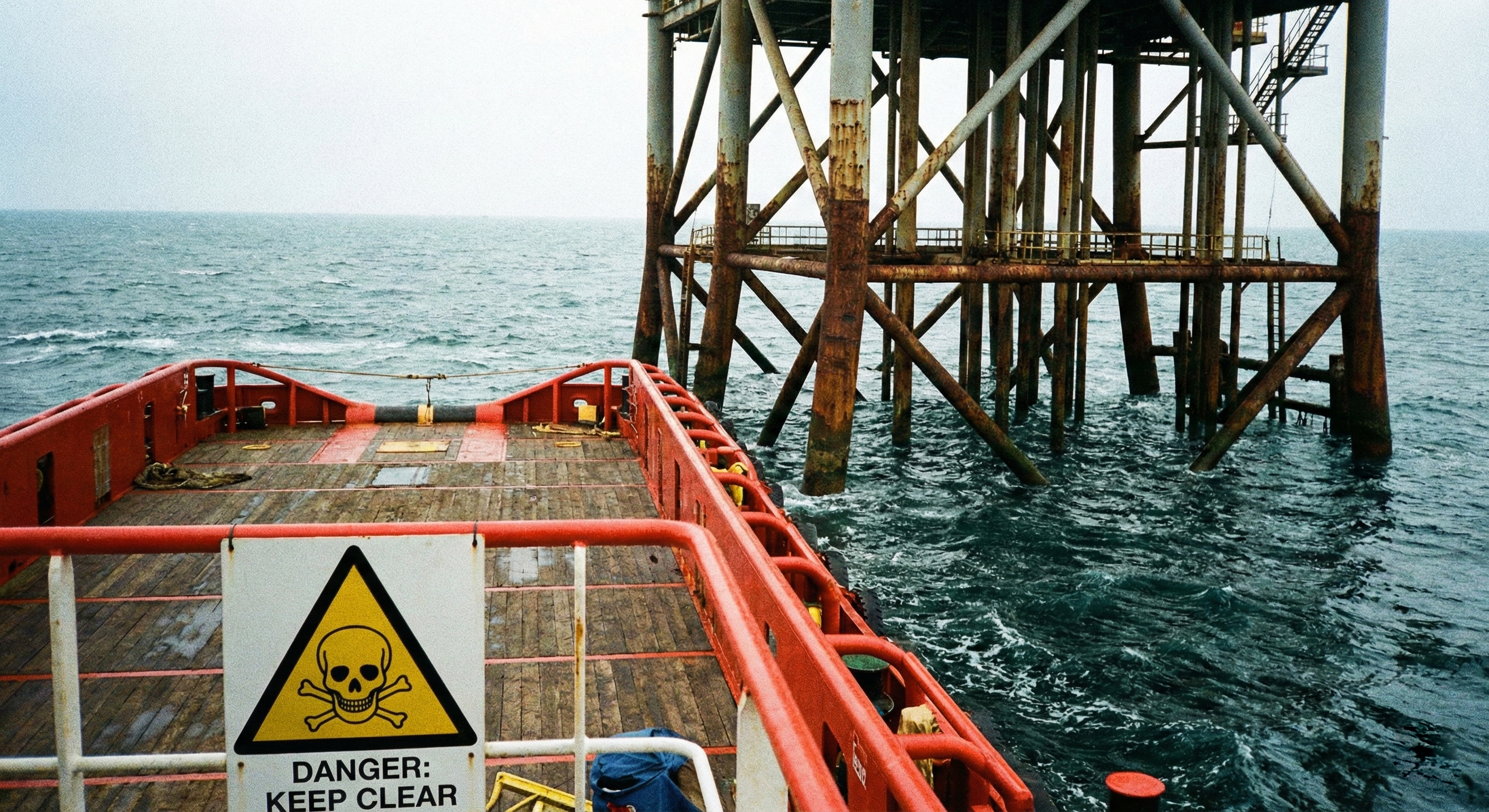
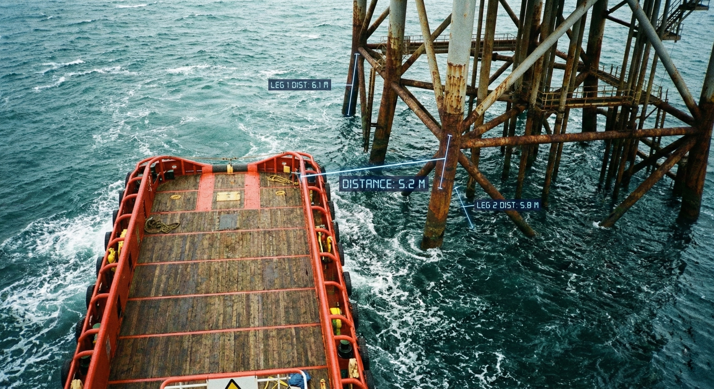
Solutions
Reconstruct and analyze maritime incidents with historical data and timeline analysis.
When an incident occurs offshore, every detail matters. GDS gives investigation teams the tools to reconstruct events using historical vessel data, distance measurements, and geospatial evidence, building a complete picture from the moment things went wrong to the lessons that prevent recurrence.
Proximity Analysis
Capture and analyze vessel proximity to offshore structures with precise distance measurements. The platform overlays real time positional data showing clearances between the vessel and platform legs, providing objective evidence for incident reports. Every measurement is timestamped and logged, creating an auditable trail that supports regulatory compliance and internal safety reviews.
Scene Reconstruction
Combine deck level photography, camera feeds, and sensor data to reconstruct the full scene of an incident. Investigators can examine vessel positioning, sea state conditions, and structural proximity from multiple perspectives. This visual evidence, paired with AIS track history and operational logs, creates a comprehensive record that stands up to regulatory scrutiny and drives meaningful safety improvements.
Capabilities
Scrub through vessel track history to replay movements leading up to and during an incident.
Precise proximity analysis between vessels and structures with timestamped measurement logs.
Build event timelines correlating AIS data, weather conditions, operational logs, and camera evidence.
Overlay multiple data sources on a single map to identify contributing factors and root causes.
Export investigation findings with maps, measurements, and timelines for regulatory submissions.
Map incidents against exclusion zones, traffic lanes, and environmental boundaries for full spatial context.
See how GDS can deliver real-time intelligence, improve safety, and reduce costs across your fleet.