Trusted by offshore operators worldwide

Company
A dedicated team of software developers, designers, GIS specialists, and hardware engineers delivering innovative cloud-based solutions for the offshore oil & gas industry.
Trusted by offshore operators worldwide
Geoview Data Services (GDS) was founded by its present CEO, Stephen McCrone, who has over 30 years of experience in the offshore oil and gas industry within the disciplines of hydrographic surveying and positioning, Geographic Information Systems (GIS), software development, and lecturing.
GDS consists of a dedicated team of software developers, graphic designers, 3D animators, GIS data technicians, and hardware engineers from several countries, with its base in Kuala Lumpur, Malaysia.
This unique combination of professionals has given rise to an innovative software solution that addresses many of the industry's challenges by using the latest software technologies within a cloud-based computing environment.
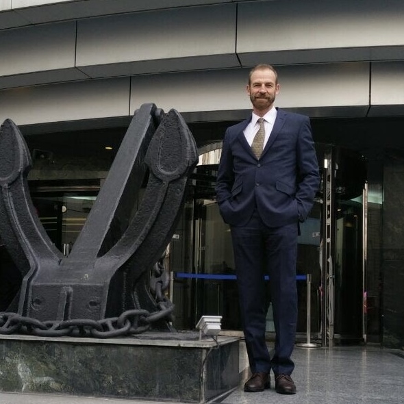
Stephen McCrone
Founder & CEO
The GDS software solution has proven extremely valuable to the drilling, marine, projects, and construction departments of offshore operators such as Talisman Energy and Repsol Malaysia, and continues to evolve to address current cost-savings strategies.
Building cloud-native offshore applications
Crafting intuitive interfaces and visualizations
Managing and processing geospatial datasets
Designing navigation and monitoring devices
Leadership

Stephen McCrone
Founder & CEO
30+ years in offshore oil & gas, driving GDS's vision to digitize maritime operations.

John McGuiness
CTO
Architects and delivers the core software powering GDS's cloud-based tools.

Bard Hess
Chief Design Officer
Leads product design and user experience across all GDS platforms.

Andrew McClymont
Operations Management
Oversees day-to-day operations and client delivery for offshore projects.

Gary Stautmeister
Senior Design Engineer
Specializes in parametric modeling and visualization for offshore asset planning.
What We Do
E&P companies spend millions annually on seabed surveys, vessel chartering, and offshore activities. GDS offers an innovative and cost-effective way to manage entire offshore fields, prevent costly mistakes, and optimize vessel operations.
Deploy a powerful cloud-based mapping application without expensive in-house development. Our team of GIS data specialists and software developers manage both the data and application, giving you a centralized spatial database with all as-built assets — pipelines, platforms, wells, slots, jack-up rig footprints, boreholes, site surveys, pipeline route surveys, debris surveys, and more.
E&P companies spend millions on vessel chartering and fuel with no accurate way to manage activities and costs. GDS offers a cost-effective way to monitor chartered vessels using state-of-the-art navigation technologies (GDS-GPS), providing frequent position, weather, and fuel sounding reports through our cloud-based platform.
Carefully plan and monitor anchoring operations, quickly assess jack-up rig suitability, and avoid costly leg and platform damage. Place to-scale rigs, barges, and vessels on the map, measure real distances and bearings to sub-sea assets, and confirm final positioning with precision.
Our Vision
To be the industry-leading one-stop solution for E&P companies to digitize and automate day-to-day offshore operations at an affordable cost.
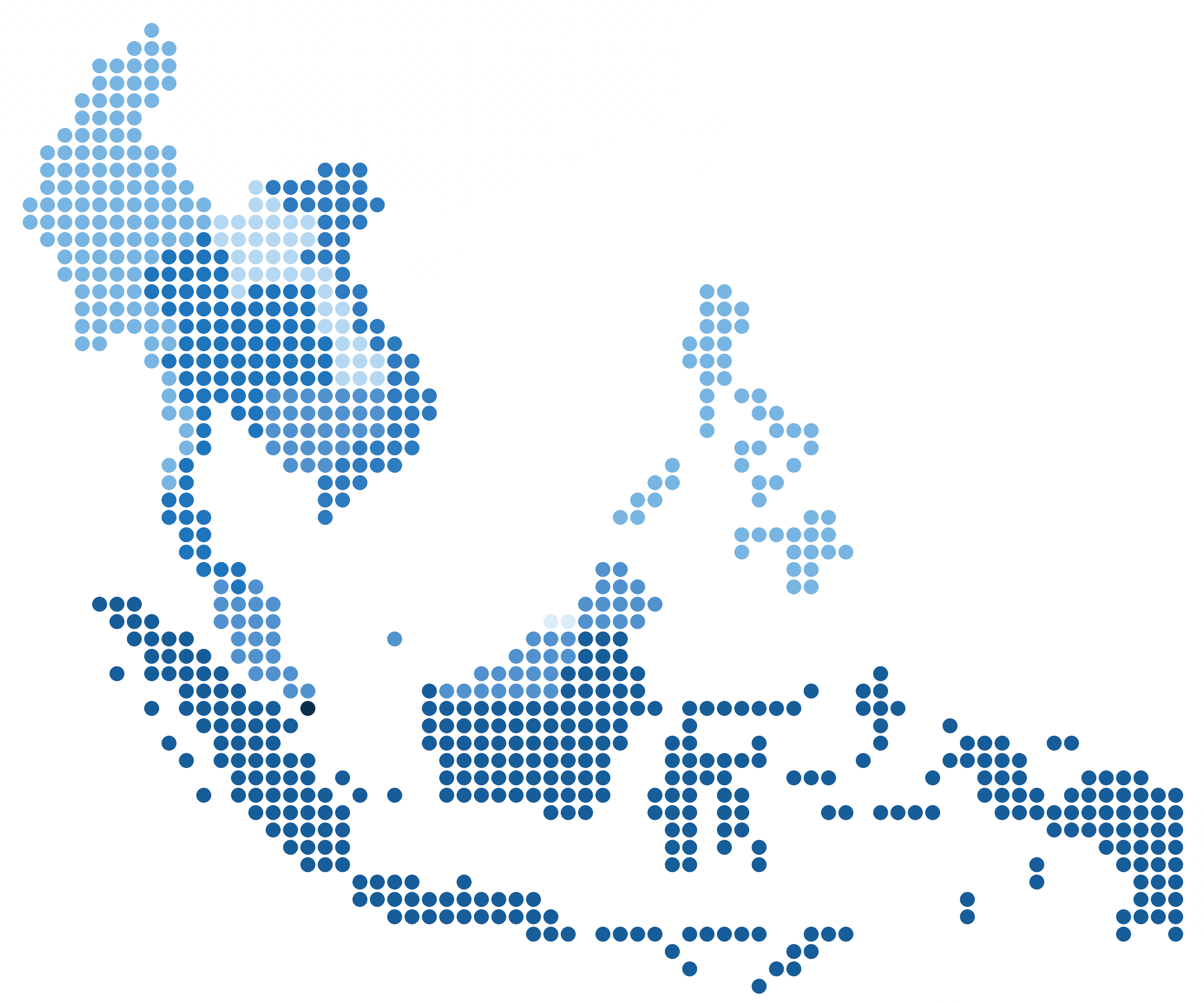
Global Presence
Our platform supports offshore operations across key basins in the region, from the Gulf of Thailand to the waters off Sabah and Sarawak.
See how GDS can deliver real-time intelligence, improve safety, and reduce costs across your fleet.